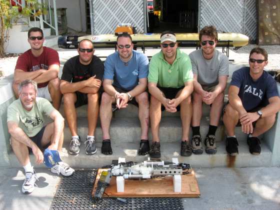
Dr. Art Trembanis’ Coastal Sediments, Hydrodynamics & Engineering Lab (CSHEL) has been pretty busy lately. Not long ago I did a post about the prototype sub-bottom profiler section that he added to his Autonomous Underwater Vehicle (AUV) (see: Sub-Bottom Profiling using an AUV). I was down at the NASATweetup for the Endeavour (STS-134) launch not long ago and I got chatting with some folks from NASA’s Open Goverment Initative about the NEEMO 15 project (NEEMO stands for “NASA Extreme Environment Mission Operations“) and we discussed UD’s involvement.
When I emailed Dr. Trembanis upon my return to Delaware, he emailed me back with instructions to browse to UNCW’s Life Support Buoy live webcam above the Aquarius Reef Base. Sure enough, he was there aboard the RV George F. Bond monitoring his Gavia Scientific AUV as it acoustically mapped the Conch Reef around the Aquarius as a precursor robotic mission for NEEMO 15.
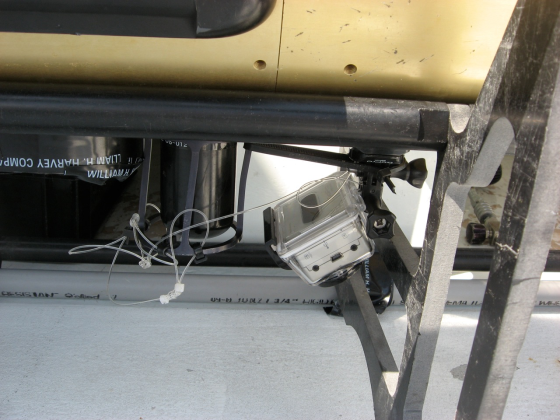
Here is video footage shot by an off-the-shelf HD Go Pro Hero digital video camera that was attached to the AUV:
httpv://www.youtube.com/watch?v=8n3nR9TaVGo
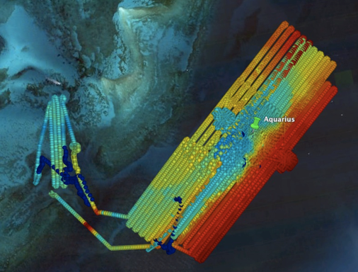
The mapping mission ran for 4 days and covered approximately 100km, resulting in about 15Gigabytes of raw data. Here’s an overview map of the mission.
Many thanks to Dr. Trembanis for the video and imagery to go along with the story. Be sure to visit NASA’s NEEMO site to learn more about the mission and what’s to come. Visit the CSHEL site to learn more about the research that’s going on there and to see other cool video and image products that they’re producing.


